Ocean Monitoring from Space: Understanding Currents, Temperature, and Marine Life

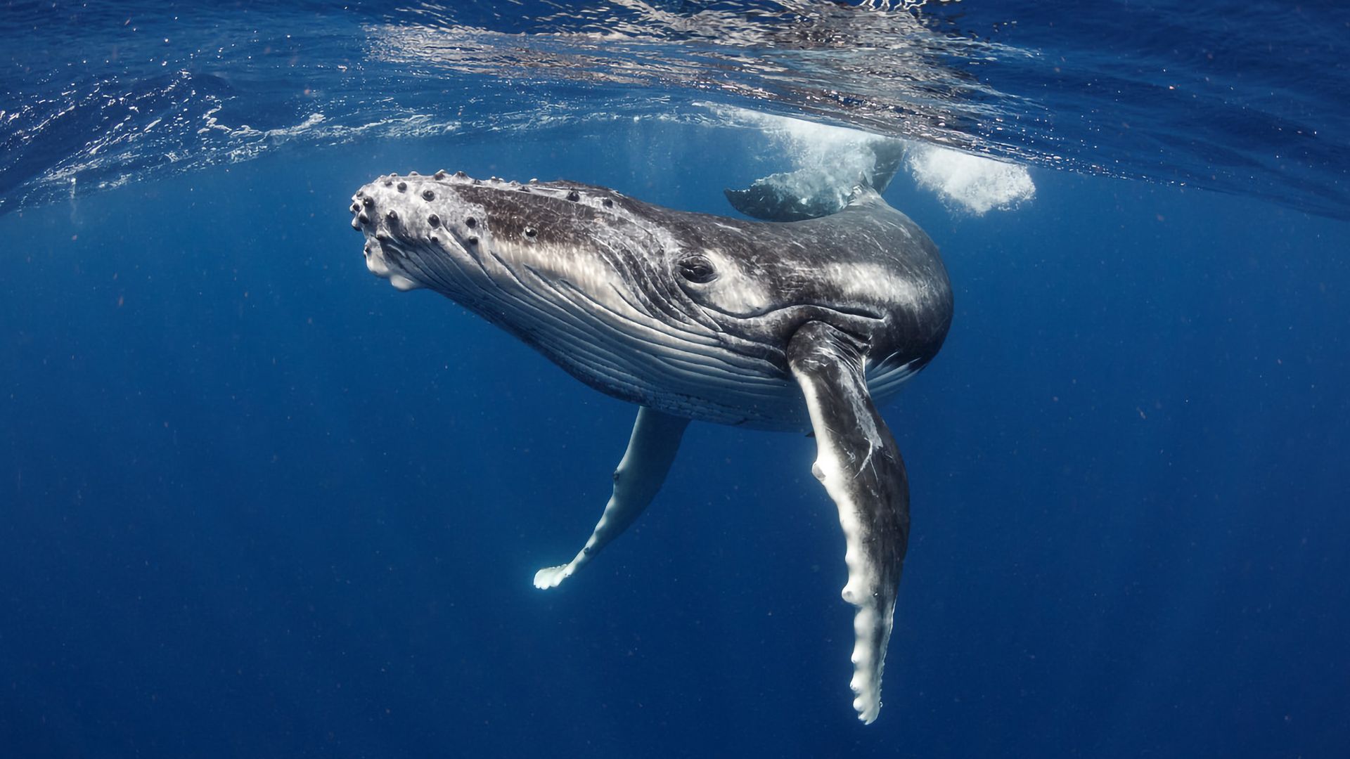
Oceans cover over 70% of Earth's surface, making them crucial to the planet’s climate, biodiversity, and economy. Monitoring oceanic changes is essential for understanding weather patterns, marine ecosystems, and the impacts of climate change. Satellites have become indispensable tools in ocean observation, providing real-time data on sea surface temperatures, ocean currents, and even marine life migrations.

One of the key aspects of satellite-based ocean monitoring is tracking sea surface temperature (SST). Satellites like NOAA’s GOES series and NASA’s Aqua provide continuous measurements of ocean temperatures, which are essential for predicting weather events like hurricanes and El Niño patterns. These temperature fluctuations influence global climate systems and marine biodiversity, affecting everything from coral reef health to fish populations.

Satellite altimetry missions such as Jason-3 and Sentinel-6 measure sea level changes with millimeter precision, offering insights into ocean circulation and rising sea levels caused by climate change. Additionally, satellites equipped with synthetic aperture radar (SAR), such as ESA’s Sentinel-1, help monitor ocean waves, oil spills, and ship movements, supporting both environmental protection and maritime security.
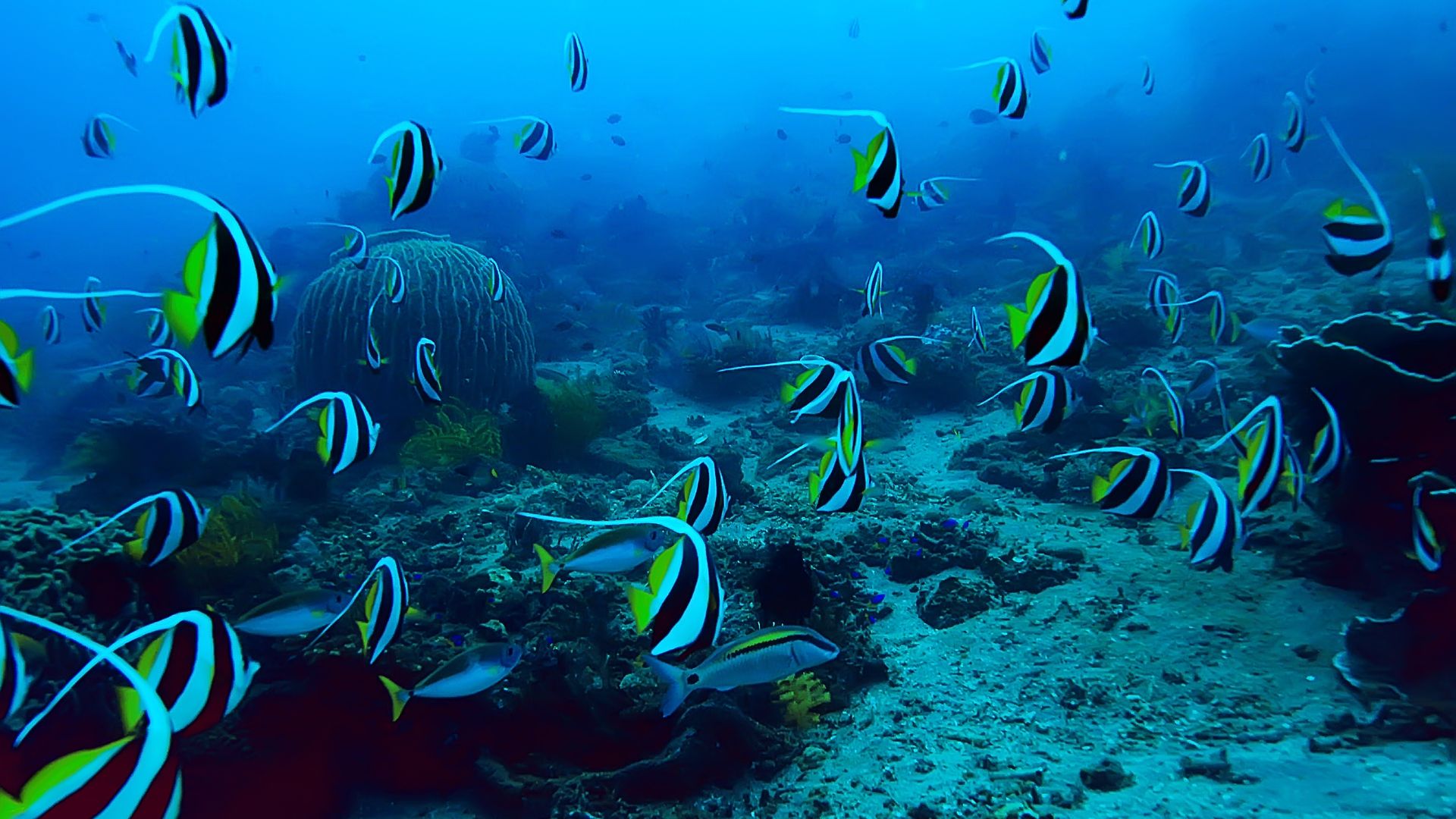
Beyond physical measurements, satellite technology is also revolutionizing the study of marine ecosystems. Researchers use ocean color satellites like MODIS and Sentinel-3 to track phytoplankton blooms, which play a critical role in marine food chains and global carbon cycles. By continuously monitoring these factors from space, scientists and policymakers can develop strategies for protecting ocean health, managing fisheries, and mitigating climate impacts.