The Role of Satellites in Disaster Response and Recovery

When natural disasters strike, satellites play an essential role in assessing damage, coordinating relief efforts, and aiding recovery. Whether monitoring hurricanes, wildfires, earthquakes, or floods, satellite data enables rapid response teams to understand the scope of destruction and allocate resources effectively.

During hurricanes and typhoons, weather satellites such as NOAA’s GOES series track storm paths in real time, providing early warnings that allow communities to evacuate and prepare. After a storm makes landfall, satellites like Sentinel-1 use radar imaging to map flooded areas and assess infrastructure damage, helping relief organizations prioritize aid distribution.
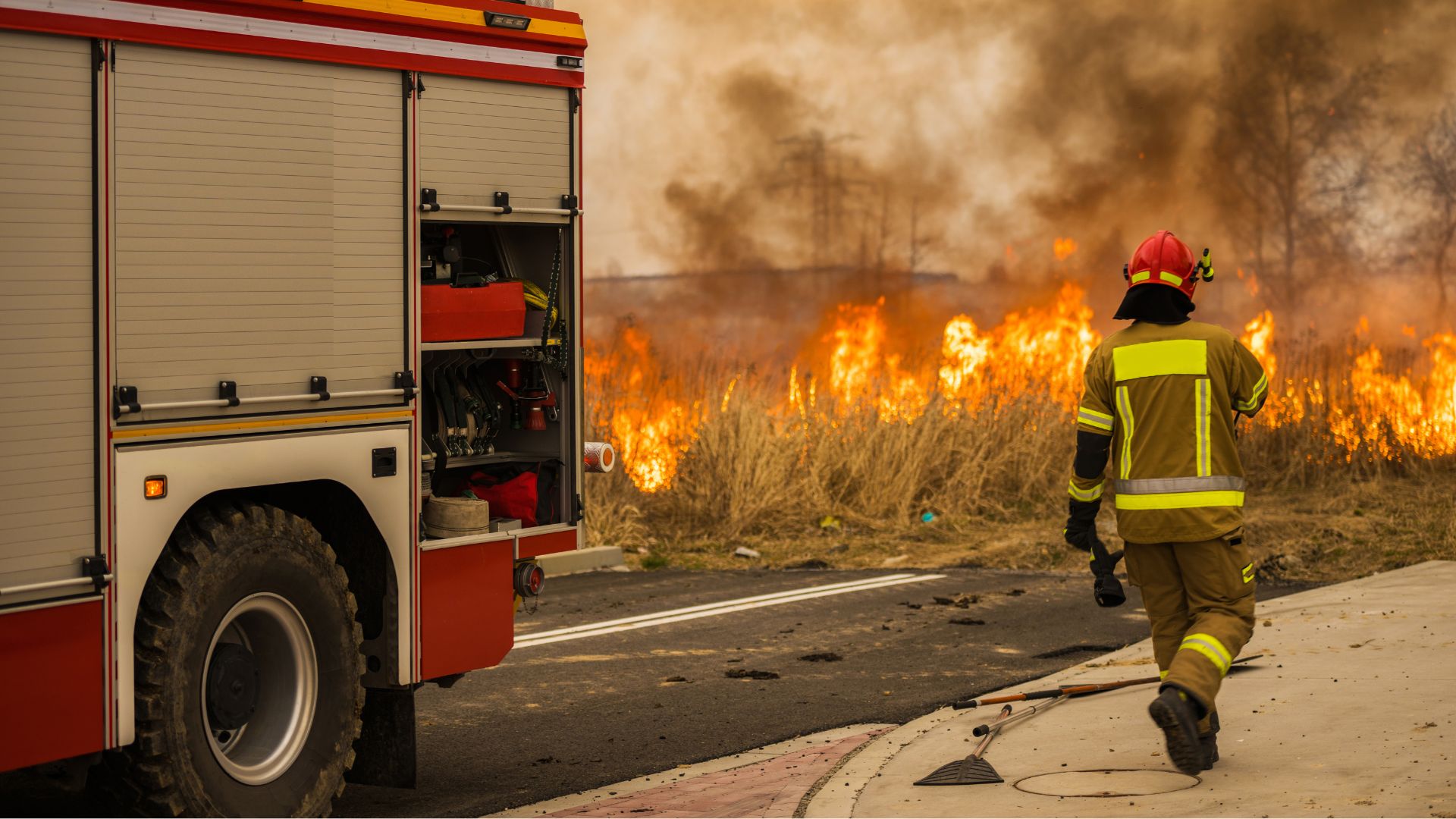
For wildfires, satellites equipped with thermal imaging, such as NASA’s MODIS and VIIRS, detect heat signatures and track fire progression even through thick smoke. This real-time data is crucial for firefighters and emergency responders to strategize containment efforts and protect vulnerable populations.

Post-disaster recovery also benefits from satellite imagery, as agencies use before-and-after comparisons to assess rebuilding needs. Organizations such as the United Nations and Red Cross rely on satellite data to plan relief operations efficiently. As satellite technology evolves, its role in disaster response will continue to expand, saving lives and improving resilience against future catastrophes.