The Role of Satellites in Monitoring Global Deforestation

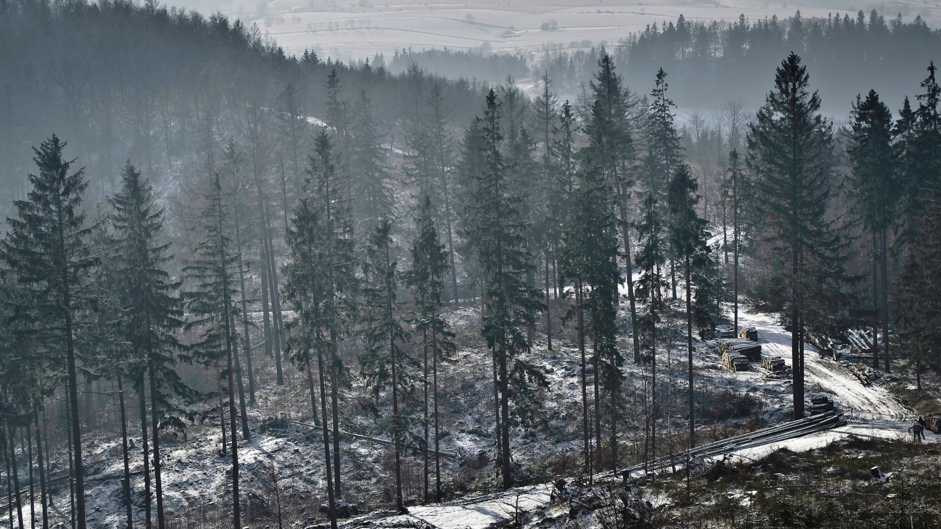
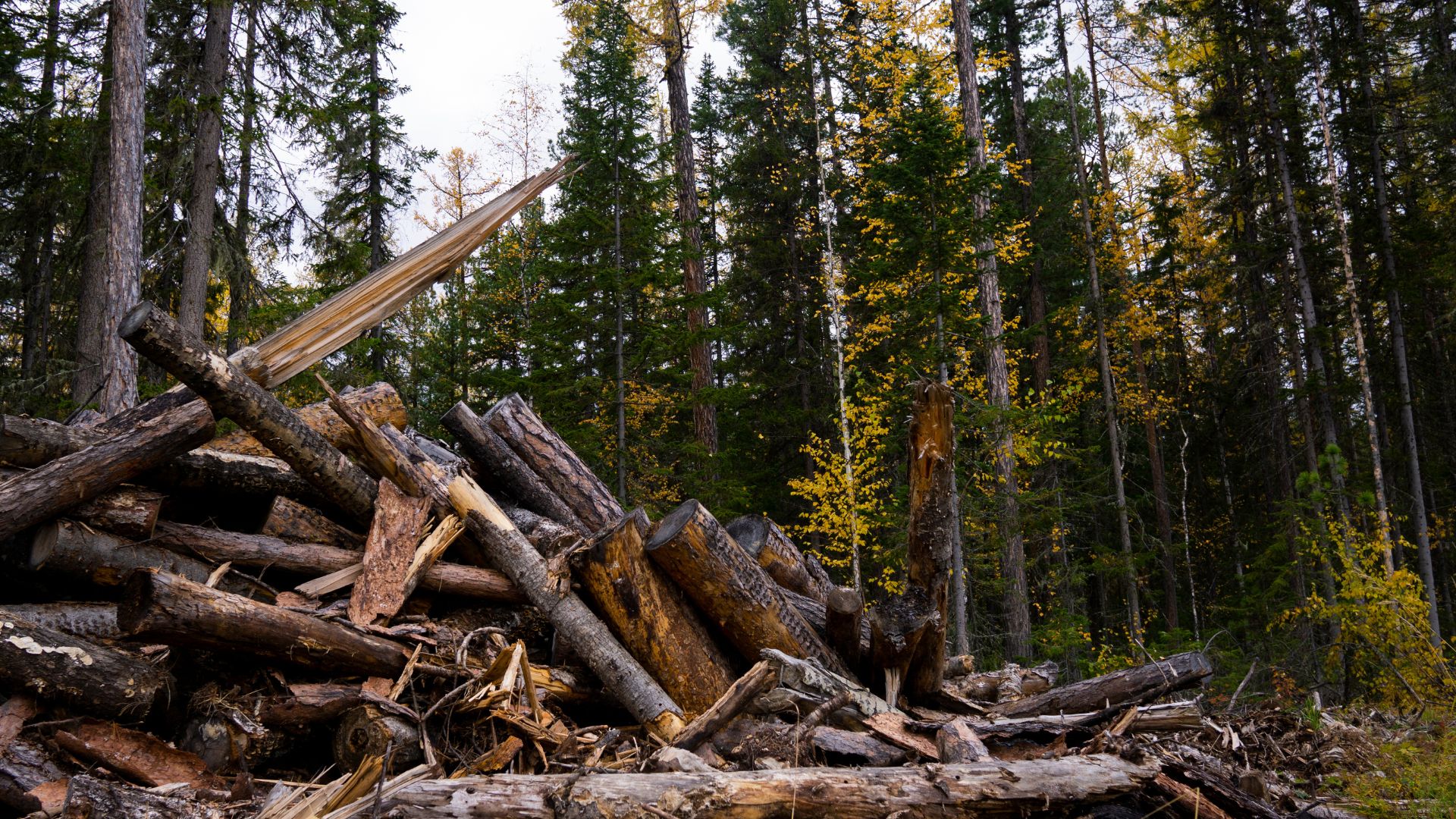
Deforestation remains one of the most pressing environmental challenges, contributing to biodiversity loss, climate change, and disruptions in ecosystems worldwide. Monitoring forest loss on a global scale is no small task, but satellites have revolutionized the way scientists track deforestation in real time. By using remote sensing technologies, researchers can analyze land cover changes, measure tree loss, and identify illegal logging activities with unprecedented accuracy. These insights enable governments, conservationists, and policymakers to take action in preserving forests and promoting sustainable land use.
One of the most effective tools for monitoring deforestation is satellite imagery collected through optical and radar sensors. Satellites like NASA’s Landsat series and the European Space Agency’s Sentinel missions provide continuous, high-resolution images of Earth's surface, allowing scientists to detect changes in forest cover over time. Optical imagery captures visible and infrared light, helping researchers distinguish healthy vegetation from deforested areas. Meanwhile, radar-based satellites like Japan’s ALOS-2 can penetrate clouds and operate at night, ensuring consistent data collection even in regions with frequent cloud cover, such as the Amazon rainforest.
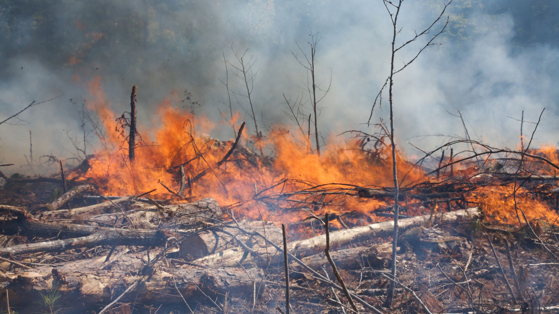
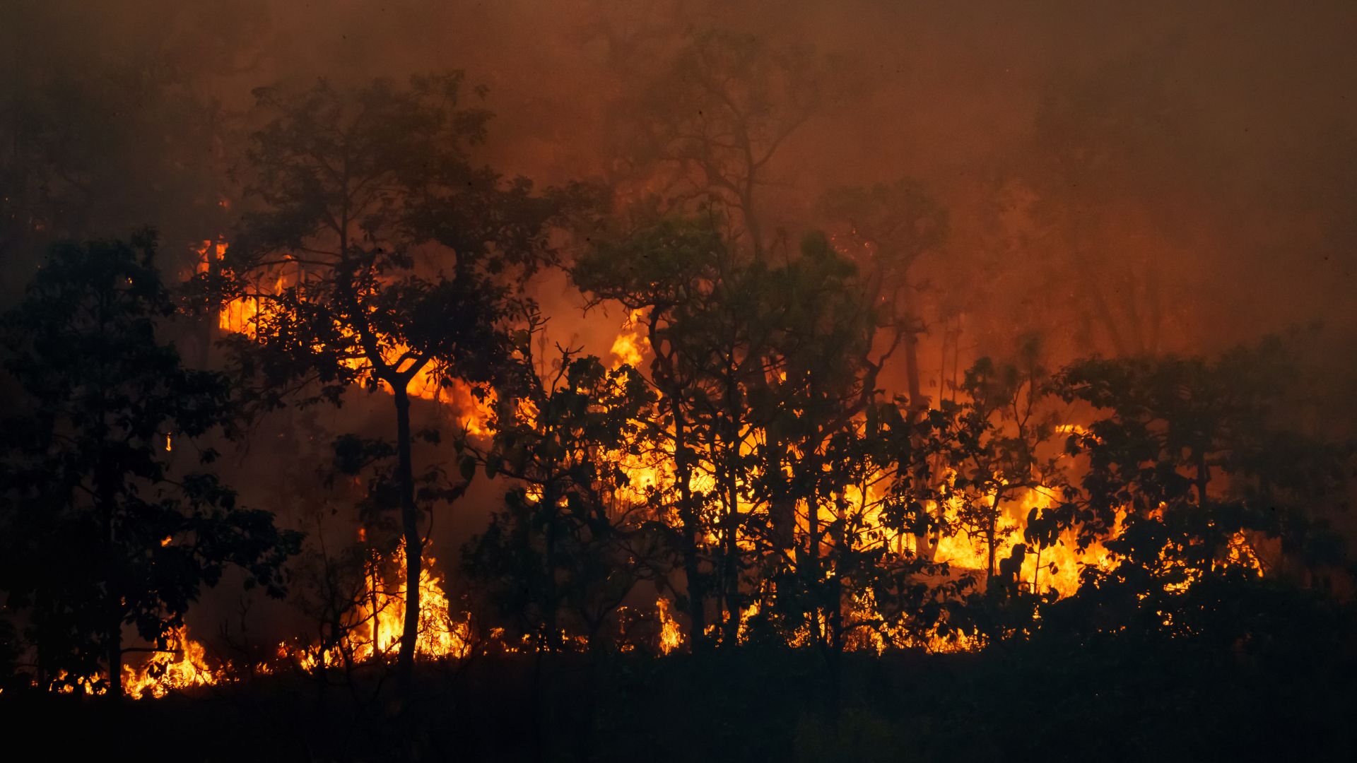
Satellite data plays a crucial role in identifying the causes and patterns of deforestation. By analyzing time-series images, scientists can determine whether forest loss is due to agricultural expansion, urbanization, wildfires, or illegal logging. For example, the Global Forest Watch platform, powered by satellite data from multiple sources, provides near-real-time updates on deforestation hotspots worldwide. These tools empower organizations and governments to enforce environmental laws, track the effectiveness of reforestation efforts, and respond to deforestation before it escalates into irreversible damage.
Beyond tracking deforestation, satellites also contribute to forest conservation and restoration efforts. Advanced technologies, such as LiDAR (Light Detection and Ranging), provide 3D maps of forest structures, helping ecologists assess carbon storage capacity and biodiversity levels. Additionally, satellites assist in monitoring afforestation projects, verifying whether tree-planting initiatives meet their intended impact. As satellite technology continues to evolve, its role in safeguarding the world’s forests will only become more critical, ensuring that future generations benefit from these vital ecosystems.